Met Éireann give late Indian Summer verdict amid another weather ...
Met Éireann has delivered its verdict on a potential late Indian summer for Ireland in its latest weather forecast. The weekend was largely sunny and cold but it looks as though our weather will turn milder.
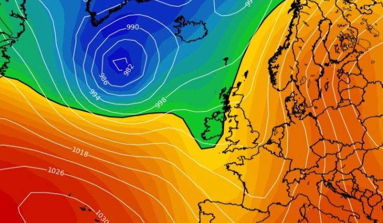
That said, it is not all good news and we could also see more rain and unsettled weather rather than the sun blast we received during the National Ploughing Championships in September.
Dashing October sun hopes, Met Éireann's outlook for the week reads: "Mild with further spells of rain, heavy at times. Some brighter showery interludes too."
On Monday, they say "any isolated patches of mist or fog will clear to leave a mainly dry day, with a good deal of cloud at first, but with some good bright or sunny spells developing. There's just the chance of a little drizzle in coastal parts of the west and northwest during the morning. Highest temperatures of 11 to 15 or 16 degrees in mostly light to moderate southeasterly or variable breezes.
"Dry for a time tonight [Monday] with some clear spells at first and some mist and fog patches. However, cloud will build from the south, with outbreaks of rain and drizzle moving into parts of Munster and south Leinster. Lowest temperatures of 3 to 7 degrees generally, but ranging from 8 to 11 degrees in parts of the south and southwest, in mostly light to moderate southeast winds, but with the winds freshening a little in coastal parts of the west and southwest."
READ NEXT: Irish shoppers warned as woman finds deadly live scorpion in online Shein order
The Met Éireann forecast for Tuesday predicts that it will be "mainly dry for a time, but outbreaks of rain and drizzle in the south will gradually move northeastwards to most areas.
"The rain will become heavy and possibly thundery at times, especially in southern counties with spot flooding possible. There'll be hill and coastal mist and fog too. Mild and humid with highest temperatures of 13 to 16 degrees in moderate, occasionally fresh and gusty southeast winds.
"Tuesday night will be a wet night, with spells of rain, heavy and possibly thundery at times. The rain looks set to be heaviest in the south and southeast, with spot flooding. There'll be hill and coastal mist and fog too. Very mild and humid with temperatures not falling below 11 to 13 degrees, in moderate, occasionally fresh southeast winds, decreasing mostly light to moderate later," the forecast continues.
"Wednesday will bring more rain, heavy and possibly thundery at times, with spot flooding. There'll be fairly widespread mist and hill and coastal fog for a time too. A clearance to sunshine and a few showers will move in the southwest in the early afternoon will gradually extend northeastwards to most parts. Highest temperatures of 15 to 18 degrees in light to moderate southeasterly winds, veering south to southwesterly.
"Any remaining rain will clear from the northeast early on Wednesday night and the rest of the night will be dry in many areas with clears spells and a few patches of mist and fog. However, there'll be showers in some western and southern areas, some heavy. Lowest temperatures of 8 to 11 degrees in light to moderate southerly breezes.
"Thursday will be mild with bright or sunny spells and some scattered showers, with these most likely in the south and west, some heavy, with the slight chance of thunder. Highest temperatures of 14 to 17 degrees in light to moderate southerly breezes.
"Apart from a few scattered showers in the west and north, it'll be dry for a time on Thursday night with clear spells. However, it'll become increasingly cloudy from the west, with rain moving in across the western half of the country. Lowest temperatures of 9 to 12 degrees in mostly moderate southerly winds, increasing fresh to strong in coastal parts of the west and south.
"The rain will spread eastwards on Friday morning, so it'll be cloudy and wet for a time across the eastern half of the country. However a clearance to sunshine and scattered showers will follow from the west, a few heavy. Highest temperatures of 12 to 15 degrees with moderate to fresh southerly winds, veering southwesterly and decreasing light to moderate.
"At the moment it looks like there will be further spells of rain or showers over the weekend and it'll be mild," they concluded.
ADVERTISEMENT - CONTINUE READING BELOW
ADVERTISEMENT - CONTINUE READING BELOW
ADVERTISEMENT - CONTINUE READING BELOW
ADVERTISEMENT - CONTINUE READING BELOW
ADVERTISEMENT - CONTINUE READING BELOW
ADVERTISEMENT - CONTINUE READING BELOW
ADVERTISEMENT - CONTINUE READING BELOW
ADVERTISEMENT - CONTINUE READING BELOW
ADVERTISEMENT - CONTINUE READING BELOW


