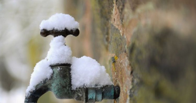
The Met Office has explained when snow will first-hit the UK in November - as we approach the winter season following the changing of the clocks this weekend. The Met Office warns "snow showers" could hit north of the border in Scotland, with areas in the northern part of Britain most at-risk of snowy condition and wintriness.
As we head deeper into the year and towards Christmas, the Met Office has shared its forecast for November - with two separate outlooks spanning November 1 to November 10 and then November 11 to November 25, next month.
In its first of the two forecasts, the Met Office says: "Colder conditions look to at least briefly encroach into at least the northeast of the UK at the start of this period, though the southward extent and longevity of any cold weather remains relatively uncertain."
READ MORE UK tourists face 'additional surcharge' to visit major attractions in France
It continues, saying: "There is also the small chance of strong winds for a time across northern and perhaps eastern areas. Thereafter, high pressure is expected to resume as the dominant feature of the UK's weather, with the main uncertainty being its orientation and proximity to the UK.
"Either way, overnight frost and fog are more likely than normal, with temperatures perhaps below average overall. Sunshine amounts within this anticyclone may be quite limited. Towards mid-November, there are hints that the high pressure may relax its grip on the UK, allowing rather more unsettled conditions to become established."
It adds November 10 to November 25 may see "some colder interludes are possible." "Following the introduction of some colder air to many areas at the start of this period, with the potential for snow showers in at least northern Scotland, high pressure looks to be the dominant feature during the first part of November," the Met Office's long-range forecast for October 31 and November 9 also said.


