How PIP maps are helping this Donegal farmer with his decision ...
‘The maps are useful in identifying areas for potential nitrogen and phosphorus loss’
With weather starting to improve and days getting longer, we are making decisions around fertiliser application.
Many factors are considered when deciding to spread slurry or chemical fertiliser: soil temperature being 6°C or higher, dry field conditions to minimise damage and compaction, using the right product at the right rate and of course the weather.
It is important to us that the fertiliser applied is being used as efficiently as possible to grow grass and prevent losses.
As part of the Signpost programme, I recently went through Pollution Impact Potential (PIP) maps for the farm.
These were developed by the Environmental Protection Agency, and are useful in identifying areas for potential phosphorous and nitrogen loss, showing the water quality status of watercourses and identifying critical source areas and overland flow paths on the farm.
It is surprising, and useful, what you can find from maps like these. It turns out the milking platform is more susceptible to N loss, while the out block is more susceptible to P loss.
In the past, management of all paddocks would have been the same, but given what I know now, I will be tailoring that management somewhat.
I have managed to cut chemical N by 13pc since 2021, through a combination of maintaining soil fertility, using sulphur to maximise N use efficiency, incorporating clover and being conscious of every kilogramme of N used on the farm, be that chemical or from slurry.
I intend to stick to these measures, particularly on the milking platform, as I am saving on N costs as well as reducing the risk of excess N leaching and finding its way to a watercourse.
Areas with high potential of P loss are generally associated to poorer-draining soils. This is not the case with the out block: if anything it is drier and has a more free-draining soil than the ground around the milking platform.
The map does show a high amount of overland water flow, which can carry P and sediment, so I need to keep this in mind when deciding to spread fertiliser.
I am fortunate as hedgerows that are very effective in breaking overland water flow paths divide this block.
In the next couple of weeks, I will also be sowing an extra 100m of hedgerow in an area identified on the map as showing high overland water flow.
Richard in the milking parlour
The best way of reducing P and sediment loss is by applying fertiliser when there is active growth and breaking overland flow paths, so this is what I aim to do.
With 84pc of cows calved, the demand for grass is increasing. We need to maximise grass as it is the cheapest form of feed, and fertiliser is an important part of this.
This being said, we need to make sure that the grass is making use of the applied fertiliser to prevent losses.
We are holding Teagasc/Aurivo signpost event here on the farm on Thursday April 25, from 11am to 1pm.
We will be covering the emission profile of the farm, the PIP maps for improving water quality, benefits of clover and changes to fertiliser limits for 2024.
All are welcome on the day. The eircode is F93VH30.
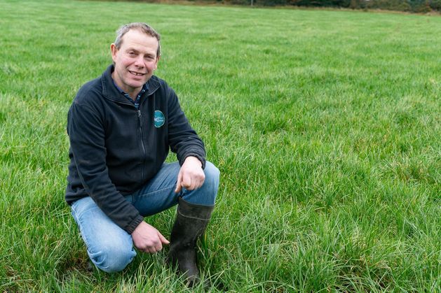
Richard Starrett farms at Lifford, Co Donegal. Advisors: Gavin Doherty and Liam Quinn


